
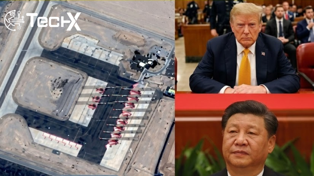
A recent video showcases detailed visuals of U.S. military infrastructure in the Middle East. It highlights the extensive network of facilities, emphasizing the scale of operations and strategic positioning across the region. Analysts note that such visual content often uses commercial satellite imagery and open-source data to map facilities without revealing classified information.
Runways and Airbases
The video prominently features runways and airbases, showing locations where military aircraft are stationed and operated. These airstrips are critical for air mobility, logistics, and rapid deployment. Observing these facilities gives insights into the operational reach and readiness of forces stationed in the Middle East.
Depots and Logistics Hubs
Also highlighted are military depots, which serve as storage and supply centers for equipment, vehicles, and other essential materials. Depots play a crucial role in sustaining military operations, ensuring troops have the necessary resources for long-term deployment and strategic missions.
Patriot Missile Batteries
The visuals include Patriot missile batteries, which are part of air and missile defense systems. These installations are designed to intercept incoming threats, protecting both personnel and strategic assets. Their placement indicates the areas considered sensitive and vulnerable to aerial or missile attacks.
Naval Hubs and Strategic Presence
Finally, the video shows naval hubs along key maritime routes, highlighting the U.S. naval presence in the region. These ports and support facilities allow for rapid deployment, resupply, and coordination with allied forces. Together with airbases and depots, they form a comprehensive military network ensuring operational flexibility.