
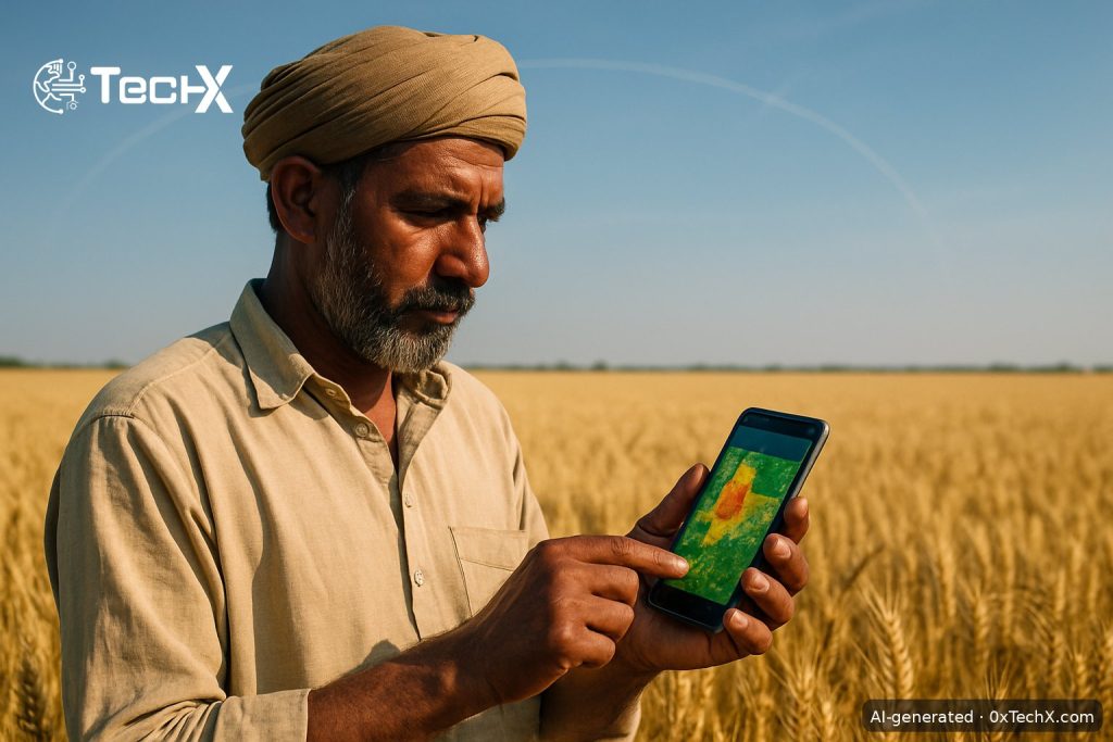
Satellite agri-financing has moved from a small pilot to a province-wide programme in Pakistan. HBL Microfinance Bank (HBL MfB) and the Pakistan Space and Upper Atmosphere Research Commission (SUPARCO) announced on 14 September 2026 that they are scaling their Climate-Smart Agri-Financing initiative to serve farmers across the whole of Punjab. This is one of the clearest signs yet that Pakistan’s space agency is moving beyond observation and into everyday financial services.
What Is Satellite Agri-Financing and Why Does It Matter?
To understand why this is a big deal, it helps to know how farm loans usually work in Pakistan. A bank officer travels to a field, checks the crop by eye, and decides whether to lend. Traditional agri-financing relies on manual field verification, leaving lenders unable to accurately assess crop health, land use, or climate-related risks. That process is slow, expensive, and often leaves small farmers out completely.
Farmers often face problems when they need loans, especially small farmers who may not have detailed land records, strong financial histories, or easy access to traditional banking services. Without a paper trail, a bank has no easy way to judge how much risk it is taking on. So the loan is rejected, or it never gets applied for at all.
Satellite agri-financing changes that. Instead of a field visit, the programme uses satellite imagery, remote-sensing analytics and crop monitoring to guide lending decisions, reduce loan risks and support farmers facing rising weather volatility. A satellite image can tell you whether a wheat field in Faisalabad is healthy, whether it has been flooded, and roughly what yield to expect. No farm visit required.
How SUPARCO and HBL MfB Are Building This Together
The initiative brings together SUPARCO’s satellite-based remote-sensing capabilities and HBL Microfinance Bank’s extensive on-ground presence and agricultural financing expertise. In simple terms, SUPARCO provides the eyes in the sky and the data science, while HBL MfB handles the actual lending, branch network, and customer relationships.
Zafar Iqbal from SUPARCO noted the organisation’s experience in agricultural monitoring through satellite technology and machine learning. SUPARCO’s Space4Climate initiative will further support risk assessments for climate-related hazards, aiding HBL MfB’s agri-lending process. Space4Climate is SUPARCO’s dedicated platform for applying satellite data to climate and environmental challenges. Its role here is to flag risks like drought stress, flooding, or pest damage before a lender commits money.
The expanded scope will enable the bank to leverage satellite data, crop monitoring and remote-sensing analytics at a broader scale, supporting a more informed assessment of land use and crop conditions, enhancing the bank’s agriculture portfolio resilience.
From Pilot to Province-Wide Scale-Up
This is not a brand-new idea. The collaboration started as a pilot, with HBL MfB beginning to disburse loans using satellite data back in late 2025. The HBL Microfinance Bank and SUPARCO collaboration is expected to serve as a template for scaling satellite-enabled agricultural lending nationwide.
Now, the strategic collaboration moves from pilot implementation to a province-wide scale-up, bringing technology-enabled agricultural financing to farmers in Punjab, which serves as a critical geography given its central role in Pakistan’s agricultural economy.
Punjab is the right place to start at scale. Punjab is the premier agricultural province, with wheat, rice and cotton as its primary crops. It was estimated in 2025 that Pakistan has 52.8 million acres of farmland, cultivated by over 10 million farmers, with an average farm size of about 5.1 acres. Many of those small farmers are in Punjab and are exactly the people who struggle most with traditional banks.
Why Pakistan Needs This Now
Agriculture is not a side issue for Pakistan’s economy. The agriculture sector contributes 24 percent of GDP and 37.4 percent in employment. Yet the sector is highly exposed to the effects of climate change. Erratic monsoons, heat waves, and unexpected floods have become more common, making it harder for farmers to plan and harder for banks to lend with confidence.
Agriculture employs nearly half of Pakistan’s workforce yet remains highly exposed to climate shocks, making access to reliable and timely credit increasingly critical. When a flood destroys a crop and a farmer has no loan to fall back on, the damage ripples out to the whole local economy, not just one family.
With agriculture forming a major share of employment and GDP, the shift toward climate-smart, data-driven financing is seen as essential for improving resilience, modernising rural credit systems and expanding access to finance for smallholders.
What This Means for Punjab Farmers in Practice
For a wheat grower in Sargodha or a cotton farmer in Multan, the practical effect is this: their land and crop can now be assessed by satellite before a loan officer even leaves the office. Decisions should come faster. Loans can be sized more accurately to actual crop conditions. And farmers who previously had no way to prove their land was productive now have a data-backed alternative to paper records.
Together, the collaboration aims to advance a data-driven and climate-resilient approach to agricultural finance, promoting informed financing and greater resilience in Pakistan’s agricultural sector.
The coverage gap that most existing reports miss is this: the technology also protects the bank. When SUPARCO data shows a field is at flood risk, the bank can adjust loan terms before a loss happens, not after. This two-sided benefit (better access for farmers, lower risk for lenders) is what makes the model genuinely scalable.
For more on how digital tools are reshaping financial services in Pakistan, see what global AI trends mean for Pakistan’s tech and finance sectors.
Frequently Asked Questions
What is satellite agri-financing?
Satellite agri-financing means using images and data from satellites to assess a farmer’s land and crops before giving a loan. Instead of a manual field visit, a bank uses remote-sensing data to check crop health, land use, and climate risks. This makes loan decisions faster and available to more farmers.
What does SUPARCO actually do in this programme?
SUPARCO provides satellite images and remote-sensing analytics through its Space4Climate initiative. It monitors crop conditions and identifies climate hazards like floods or drought. That data feeds directly into HBL Microfinance Bank’s credit decisions, replacing or supplementing the traditional field inspection.
Who benefits most from this initiative?
Small and unbanked farmers in Punjab benefit most. These are farmers who often cannot get loans because they lack formal land records or a credit history. Satellite data gives the bank an objective, verifiable picture of their land and crops, making it possible to lend where traditional banking could not reach.
Will this programme expand beyond Punjab?
The two organisations have described this Punjab roll-out as a model for the rest of Pakistan. The ambition is to eventually scale satellite-enabled agricultural lending nationwide, though a firm timeline for other provinces has not been announced yet.